
Guildhall (on map of London, c. 1300)
Dublin Core
Title
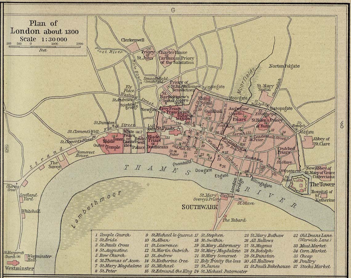
Guildhall (on map of London, c. 1300)
Subject
Guildhall
Description
Guildhall is located in the north-central area of London, next to St. Lawrence Jewry on Catteaton Street (now Gresham Street). Location is marked with a red circle.
Creator
William R. Shepherd. Historical atlas. (1911), map edited by Lorraine de Silva
Source
Shepherd, William R. Historical Atlas (1911).
Date
c. 1300
Contributor
Lorraine de Silva
Type
Map
Still Image Item Type Metadata
Original Format
Map
Files

Collection
Citation
William R. Shepherd. Historical atlas. (1911), map edited by Lorraine de Silva, “Guildhall (on map of London, c. 1300),” Medieval London, accessed October 23, 2024, https://medievallondon.ace.fordham.edu/items/show/174.